

Bioregional Mapping - part one


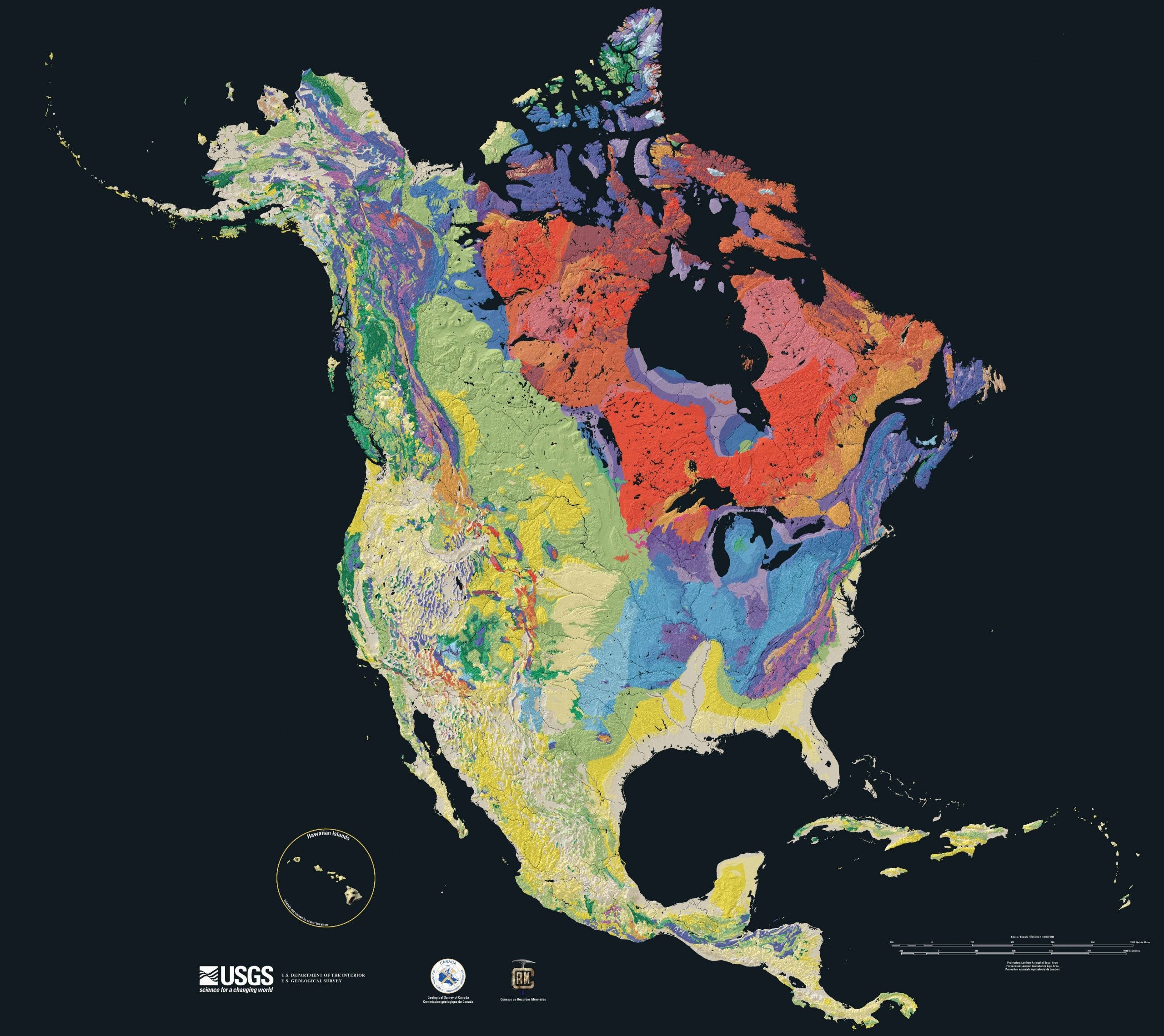
I recently became involved with a group of people who understand themselves not so much as an organization as a community, which goes by the name of Earth Regenerators. I appear now to be part of this community, but a very new one, and I’m still finding my bearings within it. It’s a vast, sprawling, planet-scaled community of places, ideas, intentions, ethos, purpose and devotion (and so much more). Its global members are largely linked to one another through the world wide web, also called the internet. But if one had to identify the geographical nucleus of this community, one would not go entirely wrong to suggest that this nucleus is in two simultaneous locations. One is Barichara, Colombia, where Joe Brewer and family live. That’s because the community basically formed around the study and practice of a book which Joe wrote, titled The Design Pathway for Regenerating Earth. And the other nucleus is precisely where you live. By which I mean the very specific place where you live and breathe right now. It’s where you eat your breakfast. It’s likely where you work and play. And at the larger scale of this place it goes by the name of a bioregion, if indeed anyone has ever named your bioregion—or mapped it.
I cannot help but remember the title of a book of essays by Rebecca Solnit as I write these words. The title is A Field Guide to Getting Lost. It has been a number of years since I read that book, which I still have on my shelves here somewhere. But I’m planning on dusting it off and giving it another read very soon, as I’m preparing to engage in bioregional mapping, which is a collaborative process in which the first step is getting lost. One cannot really find oneself within one’s bioregion, fully, without knowing what the inside of the bioregion is, which is to say where its boundaries are. And, to the best of my knowledge, my bioregion has never been mapped by bioregionalists. Or, rather, it hasn’t (to the best of my knowledge) been adequately mapped by a community of bioregionalists dwelling within this very bioregion — which informally is being called by some by the name of Upper Rio Grande Bioregion. Sure, sure, some folks have drawn a quick sketch of it on a napkin, and such, but does that constitute a reliable map for bioregionalists to use in “activating” our bioregion? (An ‘activated’ bioregion is basically a bioregion in which there is established and effective bioregionalist organizing and community, which would involve having at least the seed of at least one bioregional learning center, as Earth Regenerators would have it. Earth Regenerators hopes to activate 100 bioregions this very year of 2023. I’d like mine to be one of these.)
Let us say that the Upper Rio Grande Bioregion has its Northernmost boundary at the farthest Northern location within the Rio Grande watershed in Colorado, with its Eastern and Western boundaries similarly defined by the watershed itself. Where, then, would the Southern boundary be? Should we, as a bioregion, simply define our parameters by the entire watershed of the Rio Grande? By what rationale would we limit our bioregion to only the Northern portion of the watershed? Are these reasons more cultural and historical than biotic? And why, other than convenience, locate a bioregion within a watershed? Watersheds have clear boundaries, after all, and so it’s convenient when the bioregion is coextensive with the watershed. But are the watershed and the bioregion really coextensive?
You can see, then, that bioregional mapping must begin with becoming lost. For bioregionalist mapping differs from all other kinds, as it draws on factors of climate, watershed, biotic communities, cultural factors… and so much more. It defines a “life place” (bioregion) as a complex tapestry which has real identity in the natural and cultural worlds.

Happily, I’ve recently connected with a fellow living North of me, up in Taos, who shares with me membership in the Earth Regenerators community, as well as my interest in mapping our own bioregion, as part of a process of bioregional activation in our home region. He said he has others living near him who are also interested in the mapping process. So we have the beginning of a story here. So stay tuned.
I’ll stop here for now, having introduced the topic of this series. It’s now time for my breakfast.
Great article, thank you for sharing.
To take it super modern here, this is a fun old VHS: https://www.youtube.com/watch?v=Ud0wKKTCNy4
Really recommend: Boundaries of Home: Mapping for Local Empowerment, essays by Doug Aberley.
Also - this is a great inspiration and guide: Islands in the salish sea a community atlas
Also, we're currently archiving some really nice bioregional mapping resources at:
https://cascadiaunderground.org/ - check out the first few articles. More coming soon.
Also - we're going to be putting together a bioregional mapping group shortly if you're interested. We will probably organize on Hylo if you'd like to pop in. Specifically for people interested in holding bioregional mapping workshops, to cocreate some activities, and resources, and directories
cascadia@deptofbioregion.org is me if you'd like to connect.
Certainly. I’m pretty open to repub of anything.